Calibrate Scanned Map Command
The Calibrate Scanned Map command begins the scanned map calibration process, in which you specify the coordinates of two known points on the map.
To begin calibrating a scanned map, do the following:
- View a Scanned Map.
- Then, do one of the following:
- On the , click
 Calibrate Scanned Map.
 - On the , click .
- On the Map Tools toolbar, click
 Calibration Point 1 Tool.
- On the , click
A check mark will appear next to the menu command ![]() Calibrate Scanned Map to indicate that you are now changing the calibration points for this map.
Calibrate Scanned Map to indicate that you are now changing the calibration points for this map.
When you are finished calibrating a scanned map, do one of the following:
- On the , click
 Calibrate Scanned Map.
 - Close the Scanned Map window.
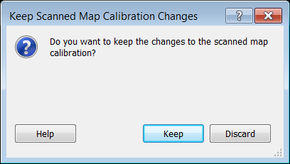
The Keep Scanned Map Calibration Changes dialog appears. If you are not satisfied with the calibration point changes you just made, you have the option to discard them.
© 1998-2026 TopoGrafix – 24 Kirkland Dr, Stow, MA – Email: support@expertgps.com