GPS Software for your Garmin, Magellan, Lowrance, or Eagle GPS Receiver
ExpertGPS is the best GPS software for downloading and viewing your GPS waypoints and tracklogs. This Windows GPS software lets you easily draw over Topo Maps and Aerial Photos, convert your GPS data to Google Earth, and geotag your digital photos.
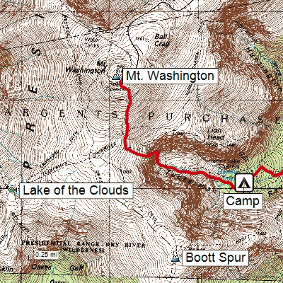
ExpertGPS is GPS software for Windows 11 and Windows 10. View GPS waypoints and tracklogs from any handheld GPS receiver over aerial photos and US topographic maps. Plan your next outdoor adventure over scanned USGS topo maps and send a route directly to your GPS receiver to guide you in the field. View your GPS tracklog over an aerial photo to see exactly where you went.
ExpertGPS downloads aerial photos and topo maps for any location in the US, saving the maps to your hard drive. Disconnect your laptop and head out on a trip, and all of your data is available.
Who Uses ExpertGPS?
ExpertGPS is perfect for:
- Hunting, Scouting, and Fishing
- Hiking, Mountain Biking, and Geocaching
- State & Local Agencies
- Colleges & School Districts
Whether you're discovering a new trail or scouting a 400 acre parcel, ExpertGPS gives you the maps and tools you need to get the job done. No other gps software makes it this easy to add your own data to maps and aerial photos. Download a free trial of ExpertGPS, or purchase your copy today!
New features were added to ExpertGPS on August 29, 2025
ExpertGPS runs on Windows 11 and Windows 10.
GPS Support
© 1998-2025 TopoGrafix – 24 Kirkland Dr, Stow, MA – Email: support@expertgps.com