Export Waypoints Command
The Export Waypoints command allows you to share the waypoints in the Waypoint List with users of other GPS and mapping software.
To export all of the waypoints in the file, do the following:
- View the Waypoint List
- Then, do one of the following:
- On the , click .
- Press Ctrl+E.
To export only the selected waypoints, do the following:
- Select one or more waypoints.
- Right-click on the selected waypoints and click .
The Export Waypoints dialog will appear.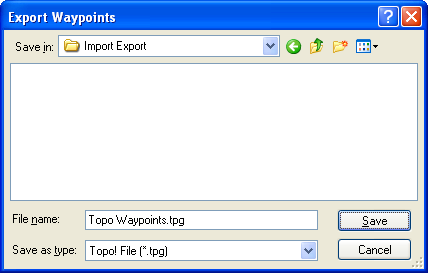
Select the type of file to export in the Save as Type list.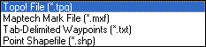
Select the type of file you want to export:
GPX 1.0 File (.gpx)
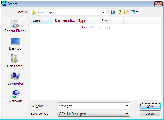
ExpertGPS saves your data in the latest version of the GPS Exchange Format (GPX 1.1). Some older products may only support the GPX 1.0 format. Export your data in GPX 1.0 for maximum compatibility with these products. To export a mix of waypoints, routes, and tracks in the same GPX file, invoke the Export command from the Map view.
Google Earth KML File (.kml)
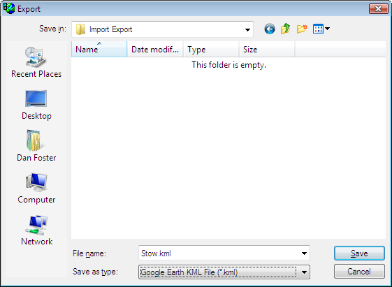
Google Earth's KML file format can contain point (waypoint) and line (route, track) features. To include all of the features from your GPX file in Google Earth, invoke the Export command from the Map view.
National Geographic Topo! File (.tpg)
National Geographic Topo! uses two file formats. ExpertGPS can export waypoints in the .tpg format, which contains only waypoints. The Topo! .tpo file format is an undocumented binary format which is not compatible with any other software.
Maptech Waypoint File (.mxf)
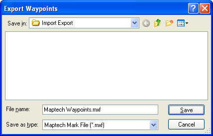
Maptech's Terrain Navigator stores waypoints in .mxf files. See also Exporting Maptech Routes and Exporting Maptech Tracks.
Tab-Delimited Waypoints (.txt)
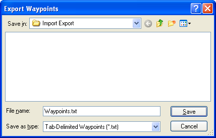
Tab-Delimited Text can be opened in a spreadsheet program like OpenOffice Calc or Microsoft Excel. If the first waypoint in the list is part of the exported data, a header row will be added to the exported file. This format is also used when copying and pasting data between ExpertGPS and your spreadsheet.
Point Shapefile (.shp)
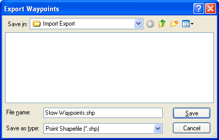
ExpertGPS converts waypoints to a Point shapefile. The coordinate format in ExpertGPS is used to project the data. If the coordinate format is UTM, all data will be projected to the UTM zone containing the Active Point. ExpertGPS creates a database file (.dbf) containing waypoint attributes.
Point Shapefile Attributes:
- Label
- Notes (Description)
- Type
- Elevation
- Waypoint
- Comment
© 1998-2026 TopoGrafix – 24 Kirkland Dr, Stow, MA – Email: support@expertgps.com