Line of Sight Command
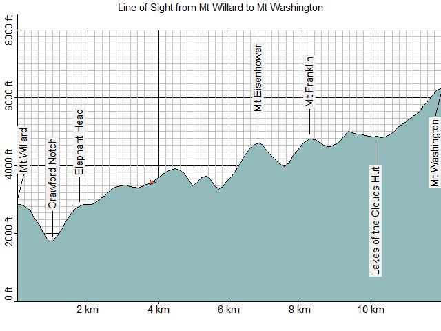
The Line of Sight command in ExpertGPS Pro allows you to create an elevation profile between two waypoints. You can use this feature to determine whether a far-off mountain peak is visible from your current location, or if it is blocked by a ridge in-between. Wireless network installers can use the Line of Sight tool to check for obstructions between two radio towers.
To determine the line of sight between two waypoints, do the following:
- If you are viewing the line of sight between two radio towers, mark waypoints at each tower location, and add the tower's height to the ground elevation in the Edit Waypoint dialog.
- Select the starting waypoint.
-
Then, do one of the following:
- On the , click .
- Right-click on the selected waypoint, and click .
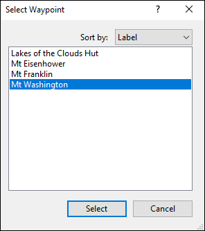
-
A list of waypoints will appear. Select the ending waypoint.
- Enter the number of intermediate points to include in the elevation profile.
- ExpertGPS will determine the elevation of all points between the two waypoints, and generate an Elevation Profile.
© 1998-2026 TopoGrafix – 24 Kirkland Dr, Stow, MA – Email: support@expertgps.com