Show Elevation Profile Command
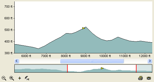
The Show Elevation Profile command shows or hides an elevation profile of the selected GPS tracklog. It requires a GPS track that was recorded with elevation data. Tracks drawn on the map, or archived or saved on your GPS may not have elevation data available and will show a flat profile.
To show an elevation profile in a new window, do the following:
- Select a single track or shape.
- Then, do one of the following:
- On the , click .
- Press Ctrl+Shift+L.
- Right-click on the selected track or shape, and click .
The Elevation Profile window will appear in a new window.
To show an elevation profile (replacing the current Elevation Profile window), do the following:
- Select a single track or shape.
- Then, do one of the following:
- Hold down the Shift key. On the , click .
- Hold down the Shift key. Right-click on the selected track or shape, and click .
The Elevation Profile window will appear. If another Elevation Profile window is open, it will be replaced with the new profile.
To close the Elevation Profile, do the following:
- View the Elevation Profile
- Then, do one of the following:
- On the , click .
- Press Ctrl+Shift+L.
- Press Ctrl+F4.
- Click the window's button.

© 1998-2024 TopoGrafix – 24 Kirkland Dr, Stow, MA – Email: support@expertgps.com