Extract Features from OpenStreetMap Command
The street maps and topo maps in ExpertGPS show roads, trails, and other features, but they are raster images, and there's no way to interact with the map features contained in the map images. You can use the Extract Map Features from OpenStreetMap to get editable, vector data for the roads, trails, and other features at your location.
To extract vector data from the map, first recenter the map to your area of interest. Zoom in so that an area no larger than a town is showing on the map. Then, click on the , under .
ExpertGPS will download all of the vector lines and polygons that represent road centerlines, hiking trails, streams, lakes, and other map features, and add them to the Shape List. Point features like mountain summits and hospitals will be converted to Waypoints and Notes.
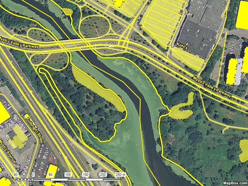
You can edit the extracted data to customize the colors and line styles used to draw each type of feature on the map. You can select specific hiking trails, Convert to Tracks, and send them to your GPS for reference on your hike. Or, you can switch to the Aerial Photo View, and see a hybrid map with roads and trails superimposed over the aerial imagery.
Options
If you choose All Map Features, ExpertGPS will attempt to extract everything available from OpenStreetMap. For larger areas, this can exceed the server limit, so if you only get waypoints back, try zooming in.
ExpertGPS has a few more preset queries to allow you to get frequently-requested data, like trails and campsites.
If you are familiar with OpenStreetMap tags and the OSM data hierarchy, you can create your own custom queries, by selecting Point or Linear Features by Type, and entering a query, formatted like the examples below.
| Query Syntax | Results |
| building | All Buildings |
| highway OR railway | All roads and railroads |
| amenity=library | All Libraries |
| amenity=library OR amenity=school | All Libraries and Schools |
| surface=unpaved OR surface=dirt OR surface=gravel | All unpaved roads and tracks |
| bicycle=yes | Paths that specifically allow bicycles |
| name="Grand Canyon" | Anything named EXACTLY "Grand Canyon" (use quotes around multiple words) |
| name~"school" OR name~"School" | Anything with School in the name (capitalization matters!) |
You can find the most popular keys and tags to search for at OSM's TagInfo site.
© 1998-2024 TopoGrafix – 24 Kirkland Dr, Stow, MA – Email: support@expertgps.com